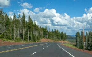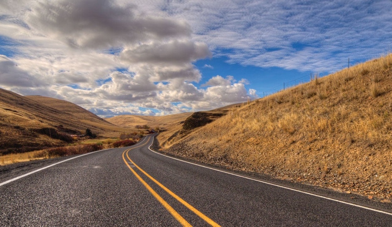
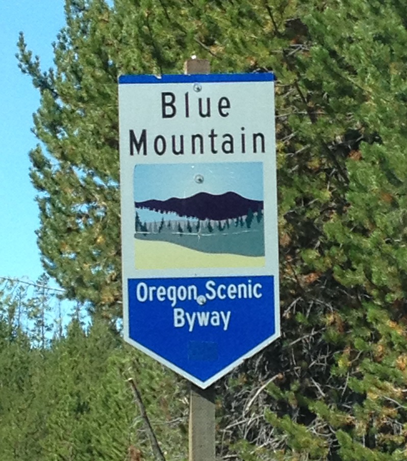
Welcome… The Blue Mountain Scenic Byway, designated in 1989 under the National Scenic Byway Program, allows east-west travelers an alternate route between the Columbia River near Arlington and Baker City, Oregon. This scenic byway covers 130 miles of paved, two-lane road, crossing Morrow and Umatilla counties in northeast Oregon, with a long segment of the byway traversing the Umatilla National Forest.
The Blue Mountain Scenic Byway offers a variety of scenery along with historical sites and numerous recreational opportunities. Several sites are of national or state significance and include a National Historic District, a crossing of the Oregon Trail, the Wild and Scenic John Day River, and the North Fork John Day Wilderness. Also located along this route is a state-managed wildlife area and remnants of historic mining activities and settlements. The area surrounding this scenic route supports a portion of one of the largest Rocky Mountain elk herds in the nation.
Oregon Trail (16 miles)
The Oregon Trail enters Morrow County from the east in the Butter Creek area and leaves in the west near Cecil. The popular stopping places were at Well Springs and at Willow Creek near Cecil. A kiosk has been constructed at Wells Spring featuring an information center. Travelers on the scenic byway can visit Wells Spring by turning east at Cecil and traveling 14 miles.
Ione (29 miles)
Ione is a lovely community of gracious homes and several business facilities, nestled along Willow Creek. This city is surrounded by rolling wheat fields and landscape dotted with livestock. The historic Oregon Trail crosses near lone at Wells Spring, a favorite stopover for early-century wagon trains.
Lexington (36 miles)
Lexington, in the center of agricultural Morrow County, is home for the county-wide school district office and the county airport. In the early 1900s, this busy community was the trading center for products entering and leaving the county.
Heppner (45 Miles)
Heppner, the county seat for Morrow County, is known for the first roller-compacted concrete dam in the world. Heppner is the gateway to the western portion of the Blue Mountains and provides easy access to nearby mountain recreation areas. Agriculture and forestry provide the base for the economy of this community of over 1,500 residents.
Hardman (65 miles)
This ghost town is a 40-mile round trip from Heppner and was a favorite stopover for freighters and stage drivers in the late 1 800s. The community thrived until the 1 920s when the railroad was built to Heppner rather than to Hardman. Today the town’s buildings remain and along with the renovated dance hall give tourists an insight into the town as it was at the beginning of the century.
Willow Creek Dam And Lake (47 miles)
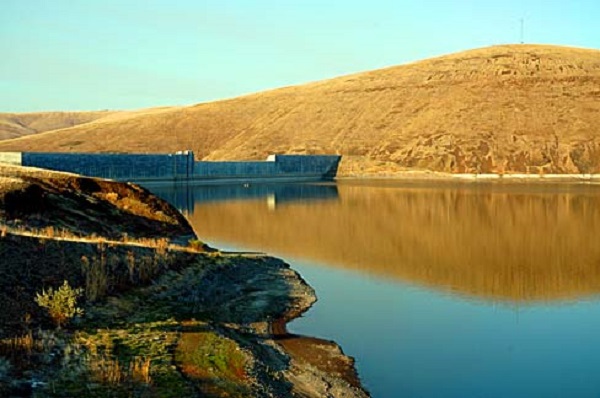
The construction of this dam put Heppner on the map. You will pass by it as you travel on toward the Blue Mountains. This roller-compacted structure, built by the U.S. Army Corps of Engineers in 1983, creates a 125-acre lake with year-round fishing, swimming, and boating. The lake includes a day park, boat launch, docking facilities, and handicapped parking and restrooms.
Cutsforth Park (66 miles)
Cutsforth Park, 16 miles southeast of Heppner on the Willow Creek Road, was donated to Morrow County by Orville and Barbara Cutsforth. The park offers 15 trailer pads with full hook-ups and 7 trailer/tent sites without hookups but with water available. There’s a picnic area for large and small groups, a children’s playground with play equipment, restroom facilities with showers, trails for hiking, and both a pond and a stream for fishing.
Penland Lake (73 miles)
Penland Lake, located 27 miles southeast of Heppner, is owned by both the Forest Service and private landowners. Picnic and restroom facilities are available through camping spaces are limited to 5 tent sites. The lake provides recreationists with access to fishing, swimming and boating. Only electric motors are allowed. Access: Right on Forest Road 21, left on 2103, dirt road, follow signs.
Potamus Point (94 miles)
A panoramic view of Potamus Canyon highlights scenery of the Wild and Scenic North Fork John Day River drainage from Potamus Point. From this point, herds of wintering deer and elk can be seen along with mountain lakes, wet and dry meadows, and interesting and unusual rock formations. Access: Take a right on Forest Road 5327, then right on 5316.
Ukiah (91 miles)
Geologists tell us the Ukiah area was once covered by a large lake. The Indians speak of a “great rumbling” that happened “many moons ago,” and the lake vanished as though it had never been there. The Indians have been coming to the area for many years to gather wild blue camas root early in the summer, relying on the root as a food source. Originally called Camas Prairie, the name was changed to Ukiah by E.B. Gamba (the first postmaster) who had lived in Ukiah, California.
Bridge Creek Wildlife Area (95 miles)
The Bridge Creek area began as a way-stop on the first stagecoach route in northeastern Oregon from Pendleton to the John Day mines. During the mining excitement of the early 1860s, the packers made such improvements on the trail as constructing pole bridges over the creek, hence the name. In 1962, the Oregon Department of Fish and Wildlife began buying land as it became available in order to provide a wintering area for elk.
North Fork John Day Overlook (104 miles)
Along the byway is a spectacular scenic overlook. The pull-off allows you to get out, stretch, and enjoy the view of the area. Looking to the southeast, you can view the North Fork John Day Wilderness and the North Fork John Day River drainage. If the sky is clear, you may be able to spot the Strawberry Mountains on the Malheur National Forest. To the southwest, you will see the Bridge Creek Flats where elk are frequently sighted.
North Fork John Day Campground (130 miles)
The North Fork John Day Campground provides a wide variety of recreational opportunities for the forest visitor. The Wild and Scenic North Fork John Day River supports a trout population for the avid fisherman and is a popular camping site for hunters during the fall. The North Fork John Day Wilderness borders on this campground, which provides access to the hunters, hikers, and horseback riders. There are 7 tent/trailer sites and 2 tent sites. Drinking water and garbage facilities are not provided.
Chinese Walls (137 miles)
As you travel south to Granite, you can see rock walls along the stream bottom. The walls were constructed by Chinese miners nearly 100 years ago. The walls were built by hand as the Chinese moved the large boulders in order to work “the finer gravel and sand underneath for gold. The walls remain today as a monument to an industrious people in a foreign land far from their home.
Granite (140 miles)
Granite, named for the granite rocks throughout the area, has an extensive mining history. Following the decline of mining activity in the California gold fields, miners headed north in their search for gold. Albert C. Tabor struck gold in Granite Creek on July 4, 1862, and appropriately named his claim the Independence. Some historians claim the town was then named Independence, but when applying for a post office, the residents discovered a town by this name already existed in Oregon. The name was changed to Granite.
Fremont Powerhouse And Olive Lake (145 miles)
The Fremont powerhouse was constructed in 1908 and, after 59 years of continuous service, generated its last electrical power in October 1967. In 1968, the California-Pacific Utilities Company donated the entire complex to the U.S. Forest Service. The need for economic power surfaced in 1903 when the earnings of some local mines began to decrease. In an effort to operate the mines more economically, local waterpower from nearby Olive Lake was used to generate the much-needed electrical power.
The water from Olive Lake reached the powerhouse through a wood and steel pipeline which was approximately 8 miles long and dropped 1,068 feet in elevation. since its original construction, the pipe has been replaced twice and can still be seen at various points along the road between the powerhouse and Olive Lake. Access: Eight miles west on Forest Road 10, dirt road.
Continue On The Elkhorn Scenic Byway
From Granite, your journey continues on the EIkhorn Scenic Byway. This route will take you east to Baker City, Oregon through country rich in scenery, history, geology, and natural resources. Many recreational opportunities are available along the way, including camping, hiking, water skiing, fishing, and much more. Special points of interest are the various gold mining operations and the historic narrow-gauge railroad grade.
You’re invited to experience rural eastern Oregon and some of its history, events, and activities.
The Morrow County Museum, located in downtown Heppner, brings the rolling hills of Heppner to life. You will see five re-created rooms of the early settlers (kitchen, parlor, dining room, bedroom, and music room). Memorabilia of Morrow County includes a collection of photographs and newspaper clippings of the 1903 Heppner flood which killed 247 people and destroyed most of the town.
Many Irish and Swedes settled in Heppner and the surrounding area. The Irish celebrate their heritage by holding an annual Wee Bit ‘o Ireland in Oregon, a St. Patrick’s Day celebration on the weekend closest to March 17. Sheepdog trials, bed races, an auction, and a parade are just a few of the offerings making this a weekend you won’t want to miss. The Swedes are proud to show you the 100-year-old Valby Church located in the midst of rolling wheat fields.
Ione holds an annual June auction and barbecue, well as an old-time Fourth of July celebration. Heppner has the annual Morrow County Fair and Rodeo, golf tournaments, and the Pioneer Memorial Picnic.
Ukiah, population 220, is situated in Camas Creek valley 90 miles southeast of Arlington along the Blue Mountain Scenic Byway. The year 1990 marks its centennial, a reminder of the bygone days of a community once boasting churches, mercantile stores, telephone office, creamery, bakery, blacksmith, livery stable, hotels, dance hall, dress shop, and a yearly rodeo and carnival. Today, this small, incorporated city has a kindergarten through twelfth-grade school, two stores, restaurant, cafe/bar, hotel, and a park with tennis courts.
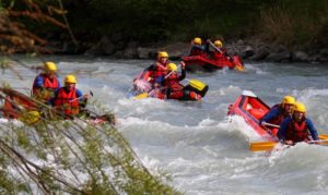
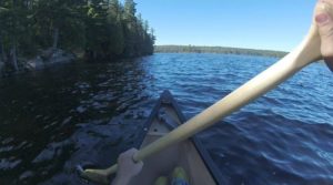
Outdoor enthusiasts will enjoy a variety of recreational opportunities such as hiking, fishing, hunting, snowmobiling, camping, rafting, motorcycle riding, cross-country skiing, and horseback riding. Among attractions in the area are Olive Lake, ghost town Albee, and Battle Mountain State Park.