Pretty hike along South Fork American River. Visit old townsite
Near: Folsom, CA
Distance: 2.2 miles round trip
Elevation Gain: 460 ft
Hike Time: 1.5 hours
Difficulty: Easy
Trail Condition: Well maintained trail
Hike Type: Loop
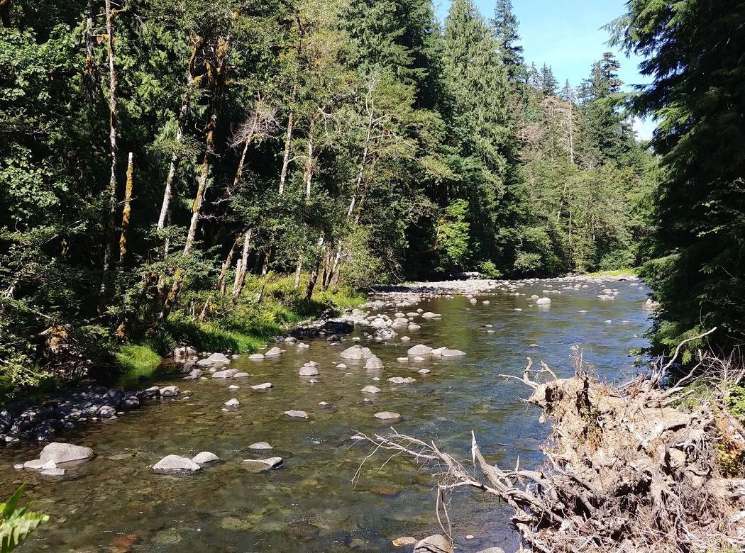
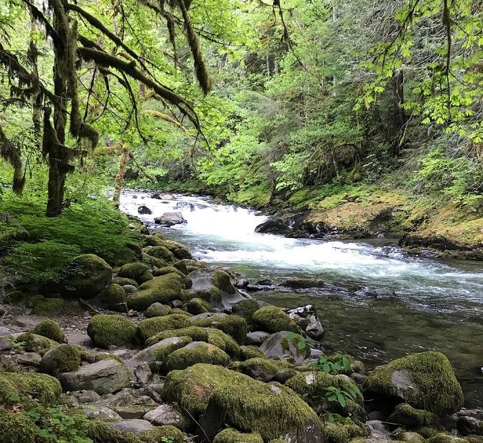
This is an excellent, easy hike close to Folsom. Start by walking down the paved road to the Old Salmon Falls assembly area. You can park here as well. Pick up the Brown’s Ravine trail at the end of the parking lot. The trail follows the South Fork American River with plenty of great views. Along the way, you will pass through a new pine forest, planted in 1972.
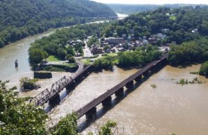
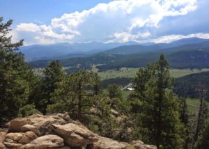
At the 1.4 mile mark, you will reach a trail junction, and the site of an extinct waterfall, Salmon Falls, which was destroyed when the Folsom Dam was built in the 1950’s. This is a great spot to stop and picnic. Follow the signs to the Monte Vista Trailhead to return to your car. The last 0.8 miles climbs up to a tremendous vista where there are some picnic tables and drinkable water.
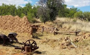
After the hike, take the time to explore the old Salmon Falls townsite (at the lower parking lot). This was an old Mormon gold mining town, which is now underwater because of the Folsom Dam.
Trailhead
From JCT of East Natoma St. and Green Valley / Blue Ravine Rd. in Folsom, drive east on Green Valley Rd. for 2.9 miles to Salmon Falls Rd. Turn left (north), and drive 2.9 miles to turnout on left (marked as Falcon Crest). Park in the large parking area (this is the Monte Vista trailhead). (Lat:38.74816 Lon:-121.05956)