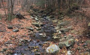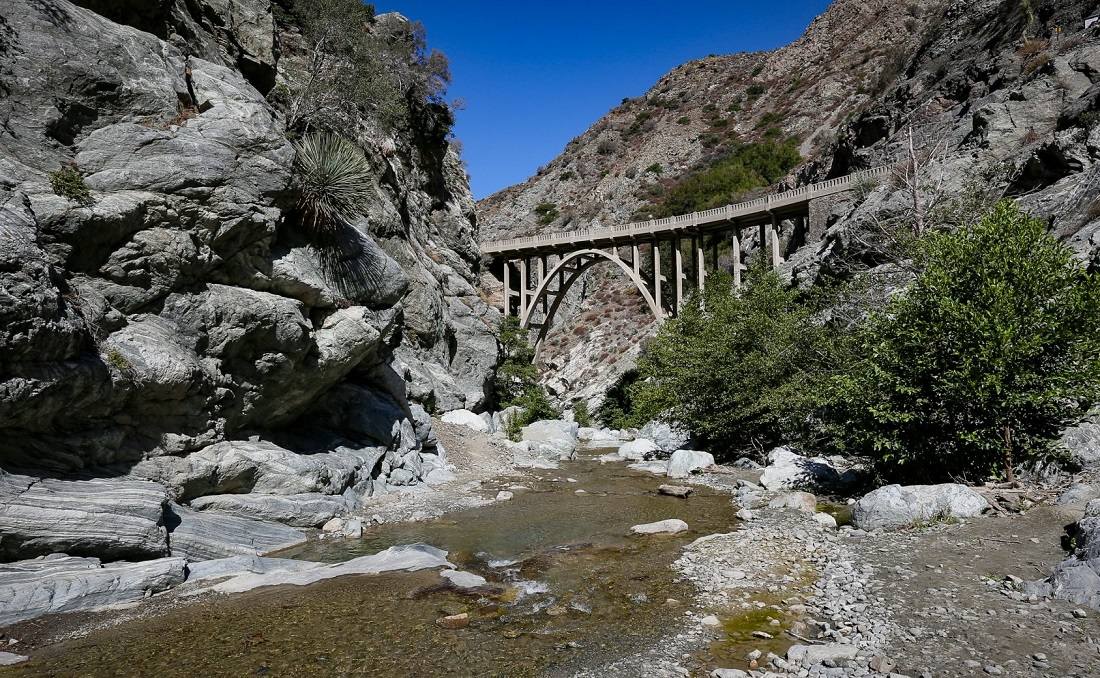
Lovely stream, cascades, sheer granite walls, and the mysterious Bridge to Nowhere
Near: Azusa, CA
Distance: 9 miles round trip
Elevation Gain: 1000 ft
Hike Time: 4.5 hours
Difficulty: Moderate
Trail Condition: OK, but a few difficult spots
Hike Type: Out and Back
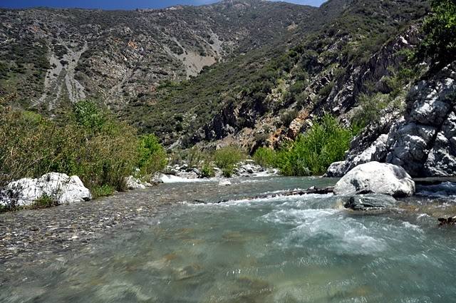
This trip takes you along the banks of the east fork of the San Gabriel River. While the river banks are wooded and quite lovely, most of the trail traverses the rim above the high water line and most of your travel is through scrub brush. The highlight of the hike is a mysterious bridge built over the east fork in 1936, which has no road leading to it. Actually, in the 1930’s a road did lead to it, but was swept away by floods in 1938.
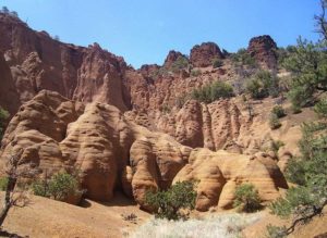
There are some small trails that lead down to the stream just after you cross the bridge. This is a stunning setting with sheer pink tinted granite walls, roaring cascades, and the lovely bridge in the background.
Route finding was a bit challenging with many day use trails mixed in with the main trail, washed out sections of trail, and over a half dozen stream crossings (bring waterproof boots even when the water is low). I was also astounded at the number of swimming holes. This place must be a zoo in the heat of the summer!
Trailhead
From Interstate 10 or the 210 freeway, exit on Azusa and head north 10 miles or so, paralleling the San Gabriel Dam on your right. Turn right on East Fork Road and continue 8 more miles to the East Fork Station, where the road dead ends. Note that if you go around a hairpin 180-degree turn on East Fork Road, you missed the road into the Sheep Mountain Wilderness. The trailhead is a short distance down an obvious service road. (Lat:34.2372 Lon:-117.76546)