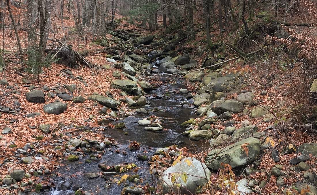
Nice views, blueberries, lovely brook
Near: West Shokan, NY
Distance: 8 miles round trip
Elevation Gain: 2000 ft
Hike Time: 4.5 hours
Difficulty: Moderate
Trail Condition: OK, but a few difficult spots
Hike Type: Out and Back
Clothing: Boots & jacket
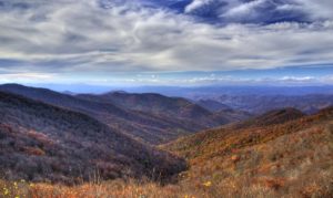
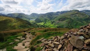
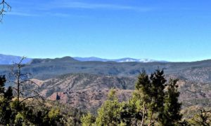
This is a pleasant hike up a small mountain that overlooks NYC’s first and largest reservoir.
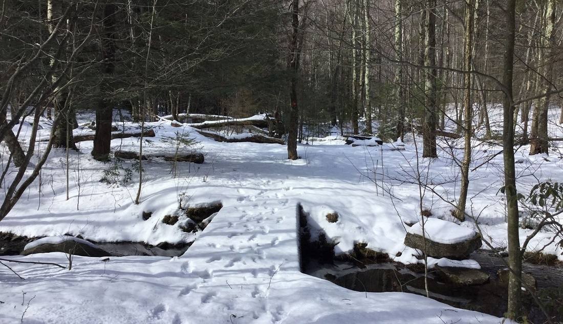
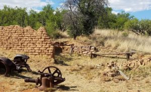
The trail (marked with red disks) follows an old carriage road along the Kanape Brook. Notice the stone walls and foundations along the way. After 2.5 miles, you reach the low point on the ridge connecting High Point and Mombaccus Mountain. Turn left here (a sign points the way). You will soon see the returning loop trail on the left – continue straight. Over the next mile, the route is much steeper – climbing almost 1000 feet.
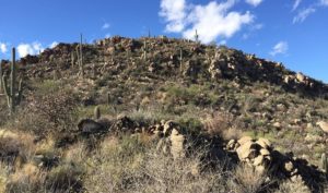
At the summit, there are anchor bolts in the rock where an old tower once stood.
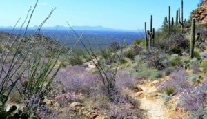
If you are adventurous, you can bushwack east following the ridge to the lower summit – sometimes called Little High Point. There is a large field of blueberries there, along with an expansive view of the South.
Continue on the red trail, which is sometimes hard to follow on the summit with the competing herd paths.
Trailhead
Take NYS Thruway to Exit 19 (Kingston). Follow NY Rte 28 west for 16 miles to Boiceville.
Turn left onto Route 28A. After 3.0 miles, turn right onto Watson Hollow Road (CR 42).
The parking area is 3.8 miles and on the right side. The trail begins across the road and a short distance east of the lot. Cross the wooden bridge and sign in at the register.
(Lat:41.936 Lon:-74.328)