Twisp District
Cooper Mountain
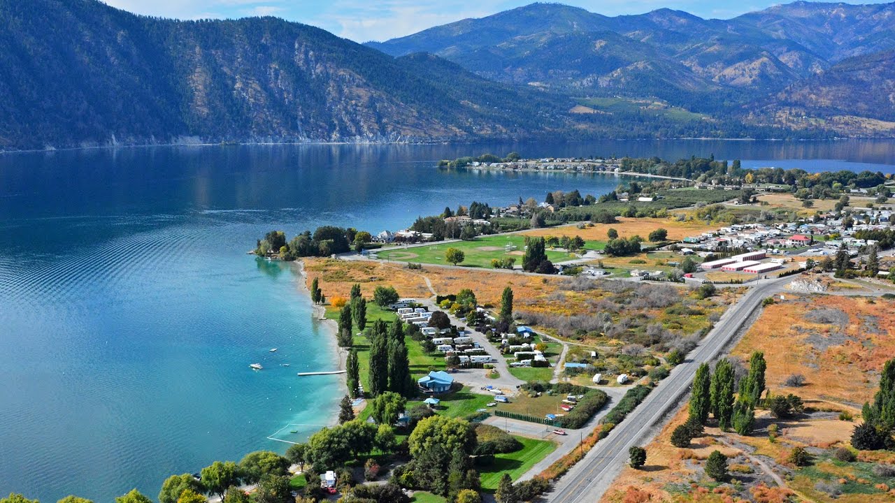
This trip takes you up onto the ridge between the Methow River and Lake Chelan. There are many points which give you a scenic view of the lower Methow Valley and the area to the northeast. The highest point on the road is approximately 5800 feet. During August and early September, the dust sometimes gets heavy and you should check at the Twisp Ranger Station for road conditions.

From Carlton, Washington. proceed 5.7 miles south on State Highway 153, then turn right on the County road #1029 for 1 mile, turn left onto County road #1034 and follow this road for 1 mile. At the junction, turn left onto South Fork Gold Creek road #4330. Stay on this road approximately 13.6 miles to road #8020, turn left and travel 13 miles to the junction of the Antione Creek road #8140 where you turn left again, it is now approximately 19 miles to the junction with U.S. Highway 97, ten miles south of Pateros, Washington. Recommend pick-ups or higher clearance cars.
Buttermilk Butte Overlook
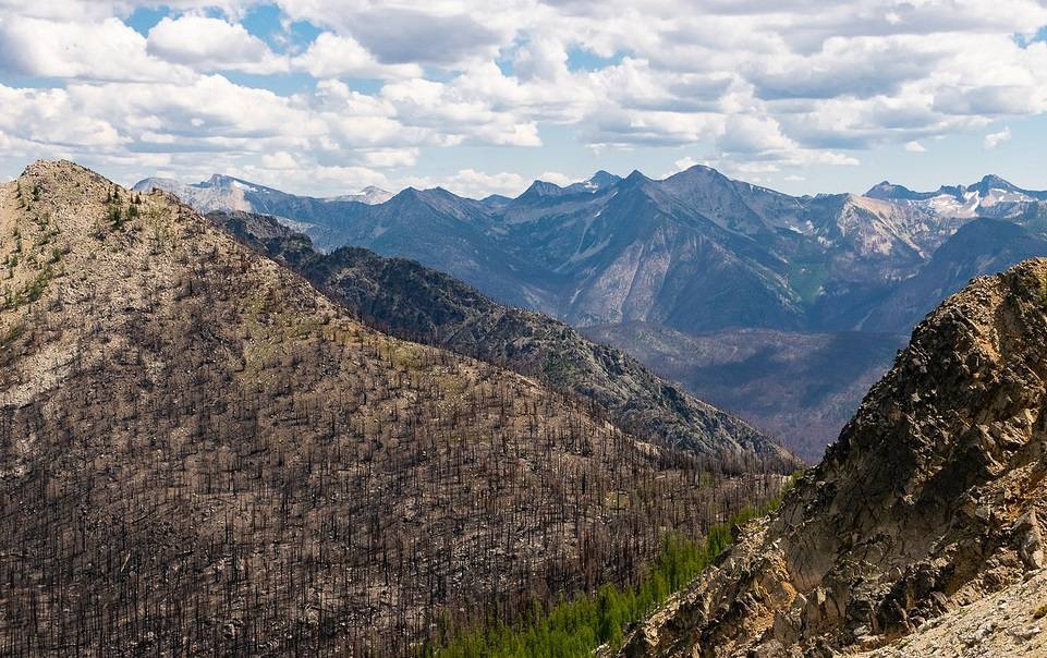
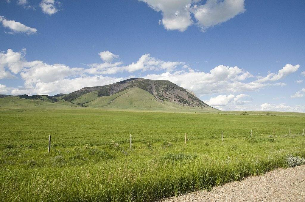
Buttermilk Butte was once the site of a fire lookout and gives you a 360′ view or the peaks of the Sawtooth and Pasayten wilderness areas, including North Gardner, 8974′, the tallest in this range of the Cascades Mtns. The elevation is approximately 5400 feet.
Start in Twisp on Highway 20, at the Twisp River County road #9114. Proceed west for 10.8 miles, turn left on the Buttermilk Creek road #43, go 6.7 miles 2nd turn right on the Buttermilk Butte road #400. From here the summit is 4.6 miles.
To return you may follow the same route or when you come to the junction with the Buttermilk Creek road #43 turn right onto road #43, it is .8 miles to Blackpine Lake campground, travel .2 miles past campground and turn right and proceed on road #43. It is 11.7 miles to the junction with State High-way 153, 1 mile south of Carlton.
North Summit-Starvation Mtn.
Starvation Mountain was the site of an Air Force radar station until the 1960s. From this summit, you have an unparalleled view of the North Cascades, the Methow Valley, the Okanogan Valley and plains to the east. in the fall when the larch and aspen are changing color the trip is particularly beautiful. The elevation is approximately 6700 feet.
This drive starts 13 miles east of Twisp on State Highway 20. Turn north (left) onto the Forest Service road #42, continue for 3.7 miles and then turn left onto the Starvation Mountain road #4235, it is 11.7 miles to the summit of Starvation Mountain.
Twisp River
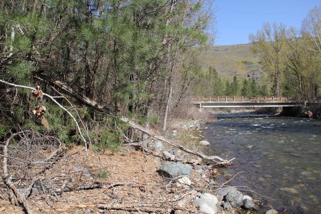
The Twisp River road is a pleasant drive with beautiful scenery. it follows the Twisp River which is beautiful in any season. The first 18 miles are paved. This drive is ideal if you have only one day in the valley and want to see the country, as it is only 25 miles to the end of the road.
The drive winds its way through a pine and fir forest with views of the peaks of the Sawtooth Ridge on the south and Abernathy Ridge to the north. Five campgrounds are located along the drive, providing picnic areas for travelers.
Start in Twisp on Highway 20 at the Twisp River county road #9114. Stay on this road for 11 miles. At this point County road #9114 becomes Forest Service road #44. Continue on road #44 to Roads End Campground.
Loup Loup
The Loup Loup Highway is the highway to Okanogan, Omak and north to Canada it is a pretty drive in any season and an excellent highway. This highway is open year round and is kept in very good condition.
There are two campgrounds on the Loup and there is a ski area. The ski hill has a lodge and a poma lift. This is the only skiing facility in the area and is very popular with the local residents. Skiing enthusiasts say it is a good hill with dry snow.
Elevation at the summit is 4,020 feet. A popular picnic area in the summer because of its coolness and pleasant surroundings.
From Twisp go east on Highway 20. it is 32 miles to Okanogan, WA.
Winthrop District
Harts Pass
Harts Pass is one of the most scenic spots in the Met how Valley, where visitors have a spectacular view from the highest point to which you can drive in Washington State. Vehicles can drive to within 112 mile of Slate Peak and hikers can hoof it to the 7400 foot lookout atop the peak.Slate Peak provides visitors with an unparalleled view of the North Cascades, including Mt. Baker to the west. Eighteen miles north is Canada, seen through snowcapped peaks of the Pasayten Wilderness. Glacier carved, U shaped valleys are evident from the Slate Peak vantage.
The best viewing hours are from about 10 a.m. to 2 p.m., when the sun is close to its zenith. Haze can be avoided with early morning and late afternoon visits.
For those who enjoy sitting at the “top of the world” for the sunset, take along a warm coat, as night temperatures drop to the low 40’s, even on the warmest of days.
The Hart’s Pass road is rock-surfaced, passable by passenger cars. However, due to the steep, narrow roadway, and lack of large turnouts, the road is closed to all trailers.
The Hart’s Pass road begins at Mazama, 17 miles north of Winthrop, on a paved country road, turning to dirt at Lost River bridge. Travel time from Mazama to Hart’s Pass is about 45 minutes on busy weekends. Slate Peak is another 15 minutes from Hart’s Pass. Snow generally closes Hart’s Pass road in early October, and keeps it closed to Slate Peak through June.
North Cascades Scenic Highway
The North Cascades Highway was a long time in the making. Access to Seattle City Light constructed Diablo Dam and Ross Dam was via railroad. After World War ii, interest increased in completing the North Cascades Highway. The North Cross-State Highway Association was formed in the 1950’s and new construction began in 1960. Parts of the new highway used the railroad route. The road was completed in 1972.The North Cascades Scenic Highway gives you a spectacular view across deep canyons to towering, craggy peaks. Enjoy the view from Washington Pass Scenic Overlook of the massive Liberty Bell Mtn. (7790 feet) and Early Winters Spires. A visitor information center at Washington Pass provides area information and geological history.
The highway is usually open from late April through early December; the overlook is accessible from June to October. From east to west, State Route 20 provides access to the Okanogan National Forest, the North Cascades National Park and the Mt.Baker-Snoqualamie National Forest.
Chewuch River–Thirtymile Campground
During August you can drive along the Chewuch River and observe the salmon spawning in the crystal-clear pools and enjoy a picnic lunch at many of the five developed recreation sites on this route. Take a snort hike up the Chewuch Trail from Thirtymile Campground, the view is rewarding and you may find wild berries along the trail.
Visit nearby points of interest as you travel the West Chewuch River road #51. Fall Creek Falls is a spectacular and cool spot on a hot afternoon.
From Winthrop go north on the west side of the Chewuch River past the Eightmile Ranch to Camp
Four Campground (approximately 18 miles). Pavement ends at Andrews Creek but the road is well-graveled to Thritymile Campground.
Sweetgrass Butte
This site affords a panoramic view to the traveler and sightseer of Silver Star and Gardner Mountains, as compared to the broad expands of the Methow Valley. Sweetgrass is also resplendent with wildflowers and abundant in wildlife in June and July.
Travel from Winthrop on West Chewuch road #51 to Cub Creek road #52. Follow this route to Cub Pass, lust beyond the old Cub Creek burn. At Cub Pass, turn left and drive approximately 3 miles to Sweetgrass Butte. This site was once a permanent fire lookout station, but use was discontinued in the mid-’60s. it still services as an emergency lookout during lightning storms and high fire danger weather.
On the return trip from Sweetgrass, follow the Ortell Creek road #5220 down the Eightmile Creek. Turn right at Eightmile Creek road #5130 and follow Eightmile Creek to the east side of the Chewuch River.
First Butte Lookout
The Lookout can be reached by following Boulder Creek road #37 to the junction with the Bromas road #3700800 (about 6 miles). The first Butte Road leaves the Bromas about 2 miles beyond the junction. Road signs give directions to First Butte.