If you like hiking the trails at Mount Galbraith, there’s a way to challenge yourself: the Nightbird Gulch Trail.
Nightbird Gulch is the neighborhood access trail. The trailhead is an empty lot between two homes (directions below). Walk through the opening in the fence, climb a few stairs and there’s the sign for the Nightbird Gulch Trail.
I call this the challenging way to hike Mount Galbraith because Nightbird Gulch is a half mile longer, and has an extra 350 feet of elevation gain than the Cedar Gulch Trail at the main trailhead.
The Nightbird Gulch Trail is a single-track, dirt trail that crisscrosses the bottom of the mountain. As you get higher, the trail gets rockier. Just keep going. If you lose the trail in some of the rockier sections, just look a short distance out and you should be able to see it again.
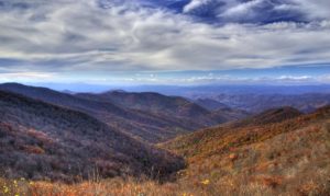
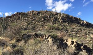
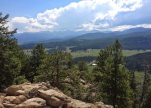
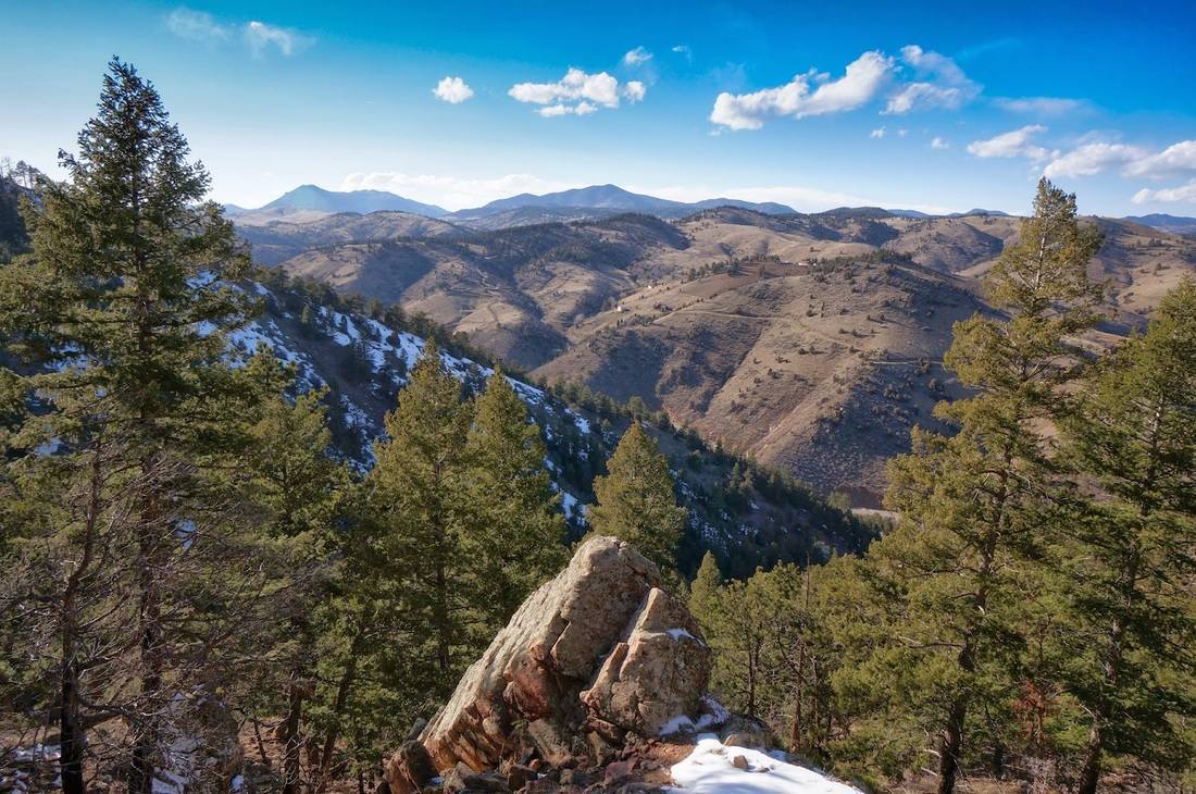
As you hike up, enjoy the views. That’s North Table Mountain directly east of you. The large group of gray buildings is the Coors Brewery below South Table Mountain. The mountain to the south with the towers on it is Lookout Mountain.
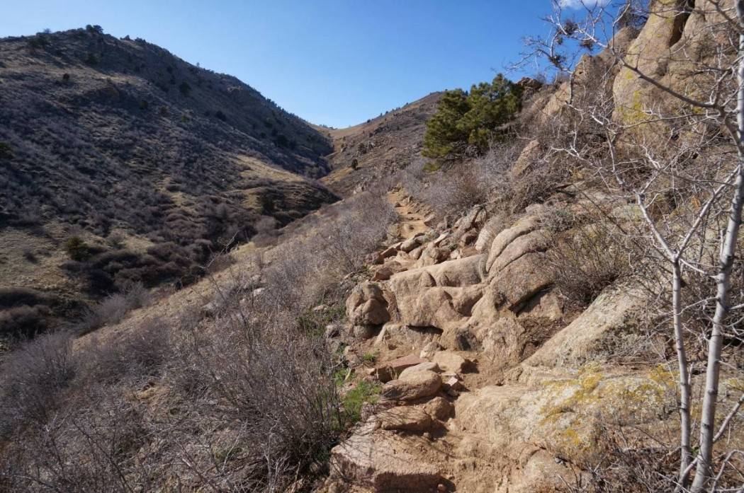
While the Nightbird Gulch Trail is steep at times, there are also some sections that are level and even slightly downhill, so there are places to catch your breath. One important note though, there are very few trees along this trail. That means there is very little shade and if you come on a hot day, you will be miserable.
Left or Right?
At 1.6 miles, the trail goes into a small section of forest. This is a nice treat and it’s a sign to hikers that they’re almost at the trail split for the Mount Galbraith Loop. Once you get to the actual split, it’s decision time. Left or right? Clockwise or counterclockwise?
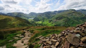
Either way works, but on this day, we went right/counterclockwise. Just a few steps down the trail, you’ll pass the sign for the Cedar Gulch Trail. Don’t turn here, that’s the trail back to the main trailhead. Stay on the loop. The trail goes north, then west, eventually looping around Mount Galbraith, back into a nice forest. The trees back here are thick and a nice change.
As you get closer to the top, you may notice some of the trees are black. The Indian Gulch Fire on Mount Galbraith in March 2011 burned nearly 1,600 acres. Fortunately, while there are lots of blackened trees, it does not mar the landscape very much. Some people may not even notice the remnants of the fire.
As you come around the south side of Mount Galbraith, you’ll climb some rocky steps and begin to start hiking down. The peak of Mount Galbraith is just above you here, but the trail does not go there. You can go off trail and climb to the top of the peak, but most people just stay on the loop trail and head back down. A short distance from here, you’ll exit the trees and once again be out in the sunshine.
The advantage of hiking the loop counterclockwise is you’ll do most of the climbing in the trees, and most of the downhill in the sun. Go clockwise and you’ll do most of the climbing in the sun and the downhill in the trees.
Either way, when you get back to the Nightbird Gulch Trail, it’s time to head 1.8 miles downhill to your vehicle.
Read about the history of the park. Get a map. In the area, there are lots of hikes including North Table Mountain, South Table Mountain, White Ranch, and Chimney Gulch. Check out more hikes here.
Don’t miss any of my hiking articles, click the “subscribe” button at the top of this article and follow me, DenverHikingExaminer on Facebook.
Details: The hike up Nightbird Gulch, around the loop and back down is 5 miles with 1,300 feet of elevation gain.
Directions: From the intersection of Highways 6, 58 and 93 in Golden, go north 0.6 miles to Iowa Drive and turn left/west. Go past the first left for Canyon Point Circle and take the second for Canyon Point Circle. Go less than 0.1 miles and you should see the trailhead behind a fence on your right.