Meyer Ranch is one of the few Jefferson County Open Space parks where you can hike all of the trails in one day. Just 11 miles from C-470, it’s close to town, but gives you that feeling of getting away for a couple hours.
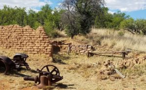
Meyer Ranch was homesteaded in 1870. Legend has it that the ranch served as the winter quarters for the P.T. Barnum circus. In the 1940s, part of the ranch was even used as a ski hill. The Meyer family bought the property in the 1950 and still live nearby.
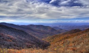
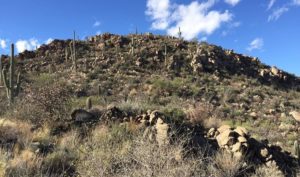
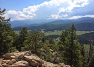
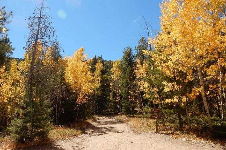
In winter, the park is know for its sledding hill that is very popular with families. In the fall, the park’s aspen trees put on a colorful show. And in the summer, the shade trees in the park create a place hikers can visit even on the warmest days.
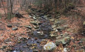
The hike starts next to Highway 285 (directions below). From the parking lot, hike up the dirt trail to an informational sign. Hike a little further to find the bathrooms and a trash can.
Directions
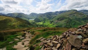
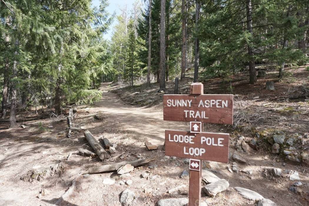
Now, let’s talk about exploring the park. There are four loops in the park. One of the best ways to see most of the park is to walk the outer perimeter. That means once you start up the trail from the parking lot, turn left at every trail split. That will take you on short sections of the Owl’s Perch Trail and the Lodgepole Loop on your way to the Sunny Aspen and Old Ski Run trails. As you hike up, the forest gets thicker providing nice shade, even on a warm day. Expect some switchbacks as you climb to help with the 1,200 feet of elevation gain to the top.
At the top, the trail ends at the Old Ski Run Trail. This is the upper loop. Go either direction or stick with the left turns to make sure you leave the loop at the right spot.
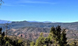
On your way down, you’ll finish the Sunny Aspen, Lodgepole Loop, and Owl’s Perch trails. These are pleasant trails that wind through the forest. When there is a break in the trees, look up at the nearby foothills, not down at the nearby highway and stores.
Back at the bottom, congratulate yourself on a nice hike of 5.1 miles covering all the loops.
Details: Hiking most of the park’s trails will equal 5.1 miles with about 1,200 feet of elevation gain. You can always turn around or create a loop of any distance you’d prefer.
Directions: From C-470 in the metro area, take Highway 285 west. Approximately 11 miles from C-470, you’ll see the exit for Meyer Ranch. (It’s a right turn that loops under the highway to the park on the south side of the highway.)
There are lots of great parks in the Jefferson County area, try Mount Falcon, Maxwell Falls, Mount Galbraith, Matthews/Winters, Three Sisters (Evergreen), Lookout Mountain, Beaver Brook and more.