They say good things come in small packages. That may be a good way to describe Mount Galbraith Park in Golden, Colorado
Mount Galbraith Park is a Jefferson County open space park. You’ll encounter steep and rocky trails that lead to panoramic vistas!
The park is just 1.3 miles west of the intersection between Highway 93 and Golden Gate Canyon Road. Turn west on Golden Gate Canyon Road and look for the sign. The parking lot has about 20 spaces, bathrooms, and a sign. This is a hiker-only park, no bikers, and no horses.
The park is small with just one trail up from the parking lot, a loop at the top of the mountain and one trail to a nearby neighborhood east of the park.
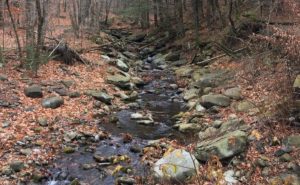
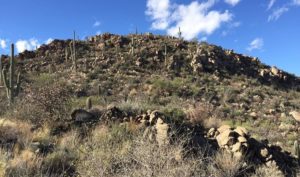
From the parking lot, hikers start on the Cedar Gulch Trail. It crosses a small footbridge and follows a creek until it turns up and then along the hill. From here, hikers follow Clear Creek Canyon for about a half mile. This is a thin trail with little room for passing, that may be why no bikers are allowed here. There are a few rock formations along the trail and our group even spotted one deer along the first part of the trail.
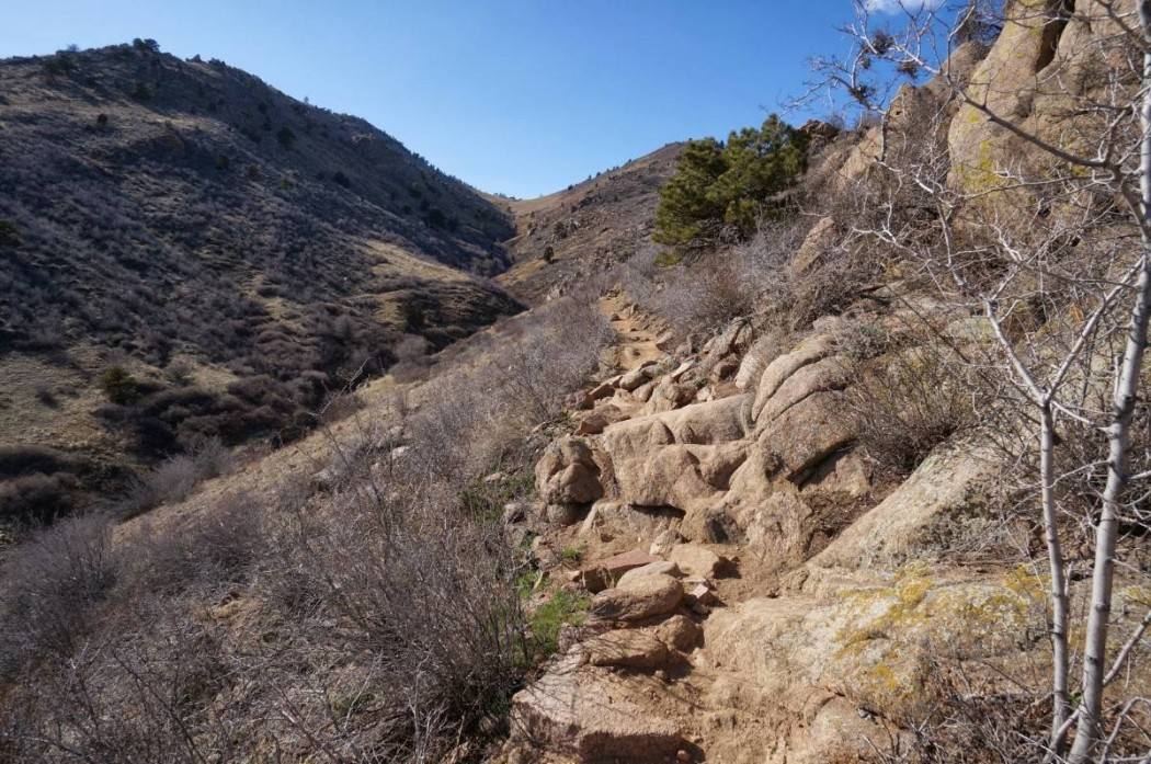
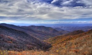
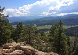
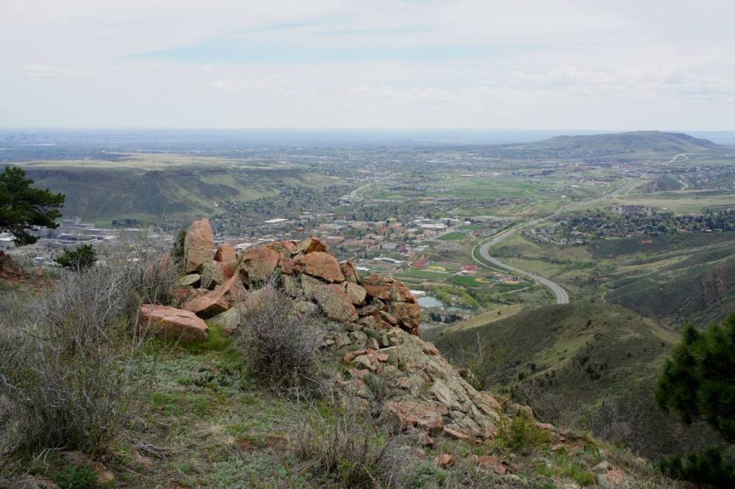
At 1.3 miles hikers come to the 1.6 mile Mount Galbraith Loop. Hikers can take the trail in either direction. Turning north, hikers will encounter a set of steep, rocky stairs. My group went south. After passing the cutoff to the Nightbird Gulch neighborhood trail, we continued climbing. Along the trail, we had a view of the Coors plant in Golden and view to downtown Denver and the plains beyond.
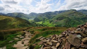
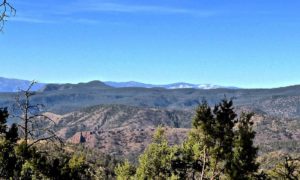
Mount Galbraith sits between Golden Gate Canyon and Clear Creek Canyon. As hikers go around the loop, there are views into Clear Creek Canyon including the tunnels below and the antennas up above on Lookout Mountain. Also look for the twisty Lookout Mountain Road across the canyon.
We spotted a group of deer high on Mount Galbraith. Wildlife in the park includes about 300 head of elk in the spring along with black bears, mountain lions, and bighorn sheep.
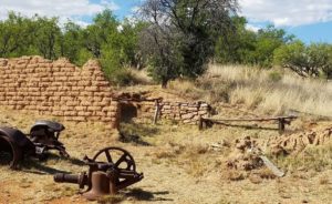
A quarry on the Clear Creek side was mined in the 1930s and 40s. While we didn’t notice the remnants of the quarry, we did find ourselves climbing through some rocky areas at times. We also found wildflowers in yellow, white and purple emerging on a mid-May evening.
While hikers do not climb to the top of Mount Galbraith, they do get close topping out at an elevation of 7,222 feet. The parking lot is at 6,310 feet.
On the north side of the loop, the trail winds through a nice forest with views of Golden Gate Canyon again. But be careful enjoying the view, the trail here gets thin again with some steep drop-offs on one side. As you finish the loop at about 2.9 miles, make sure you look for the cutoff back to the Cedar Gulch Trail. At least one person in our group missed the cutoffs and hiked a little further than expected.
From here it is 1.3 miles back to the trailhead to finish the 4.2-mile loop. At a medium pace, the hike takes about 2 hours, making it a good spot for an after-work hike.
If you’ve done this hike, leave your comments below for other readers. If you have a question or a favorite hike to share, E-mail me by clicking on the “my bio” link at the top of the page.