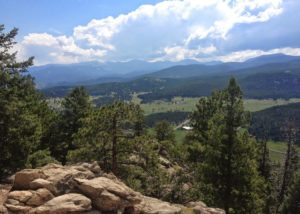
If you’re looking for a peaceful place for an easy hike, it’s worth the drive to the Flying J Ranch Park near Conifer.
Flying J has just one trail, the Shadow Pine Loop. There are also a few spurs that lead to parking lots and neighborhood access.
The hike starts at a trailhead off County Highway 73 which runs between Evergreen and Conifer (directions below). The trailhead has bathrooms and a nice picnic shelter with a grill. At the trailhead, grab a map and decide which way you’d like to hike. You can start the hike in either direction. We went clockwise.
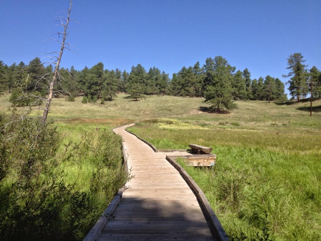
The trail winds through a thick forest. It gains about 300 feet of elevation over the entire loop. As you walk, you won’t need the map, but it’s nice to stop and read the history on the brochure.
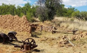
Experts think Native Americans migrated through here on the Ute Trail. Those same trails were likely used by early prospectors and homesteaders. During the Gold Rush, there was a toll road outside the park back at the intersection of Highway 73 and Barkley Road.
Two homesteaders settled here in the 1800s, but the family that made this area famous was the Schoonhovens. John and Marguerite Schoonhoven started a cattle ranch here in 1948 that they called the Flying J. Maybe because John was a pilot was United Airlines. John reportedly had a grass runway in the meadow you drive through to get to the trailhead.
As you hike the loop, you’ll come across a road in the middle of the park. That’s a service road, likely for maintaining power lines. On the upper end of the loop is a sign that talks about the importance of prescribed burns.
Just past the upper neighborhood access trail, you may spot a small lake in the distance. This is a nice spot for a picnic or just a snack before you walk the quarter mile back (uphill) to the parking lot.
In the area, don’t miss Evergreen Mountain, Three Sisters Park and Reynolds Park.
Details: The Shadow Pine Loop is about 2.8 miles with a short detour over to the lake and back.
Directions
- Travel south from Evergreen on County Highway 73 approximately 6.8 miles to the main trailhead entry road.
- From C470 and US Highway 285, take Highway 285 south about 12.5 miles to Aspen Park.
- In Aspen Park, just past the pink bridge, exit to the right and quickly turn left on Barkley Road. Take Barkley Road to County Highway 73.
- Turn north and travel 0.6 miles to the signed turnoff for Flying J Ranch Park.